
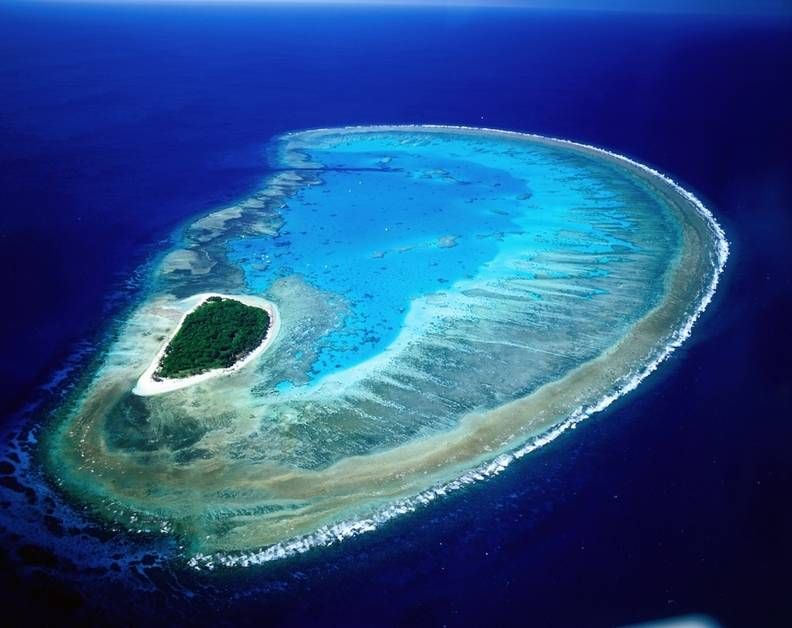
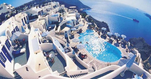
Lady Musgrave Island (Source: http://goo.gl/GAKtKZ)
Lady Musgrave Island is a 14 hectares (35 acres) coral cay on Australia’s Great Barrier Reef, with a 1,192 hectares (2,950 acres) surrounding reef. The island is the second island in the Great Barrier Reef chain of islands (with the first being Lady Elliot Island), and is most easily reached from the town of 1770, Queensland, located on approximately 5 hours north of Brisbane. It is named for the wife of Sir Anthony Musgrave, a colonial governor of Queensland.
Discovery :
In 1803 Captain Eber Bunker of the whaling ship Albion was the first European to discover the region and gave his name to the southern group.
The southern cays and reefs were first charted between 1819 and 1821 by Lieutenant Phillip Parker King Royal Navy initially in the Mermaid and later in the Bathurst. The main charting exercise for all the islands and reefs was carried out in 1843 under the command of Captain Francis Blackwood in HMS Fly which was accompanied by the Bramble. The naturalist, Professor J. Beete Jukes, was on board the Fly and his published journal provides valuable information on some of the cays.
Lady Musgrave National Park is a tropical paradise abundant in Pisonia forests and bird life. The island is set on 3000 acres of living reef with a deepwater coral lagoon which is unique to the entire Great Barrier Reef region. One big big swimming pool.
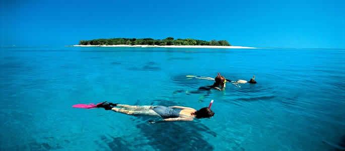
Swimming Close To Lady Musgrave Island (Source:http://goo.gl/QBr81B)
Source: http://en.wikipedia.org/wiki/Capricorn_and_Bunker_Group


Comments are closed.